After having a few shorter rides out on the Attack of the Buns bikepacking route, both north and south of Nowra, I loaded up for a ride in Wandandian country, through Yalwal to Sassafras. It was a warm day, and I was soon to experience what grades in the order of 23% on loose sandy fire trails are like.
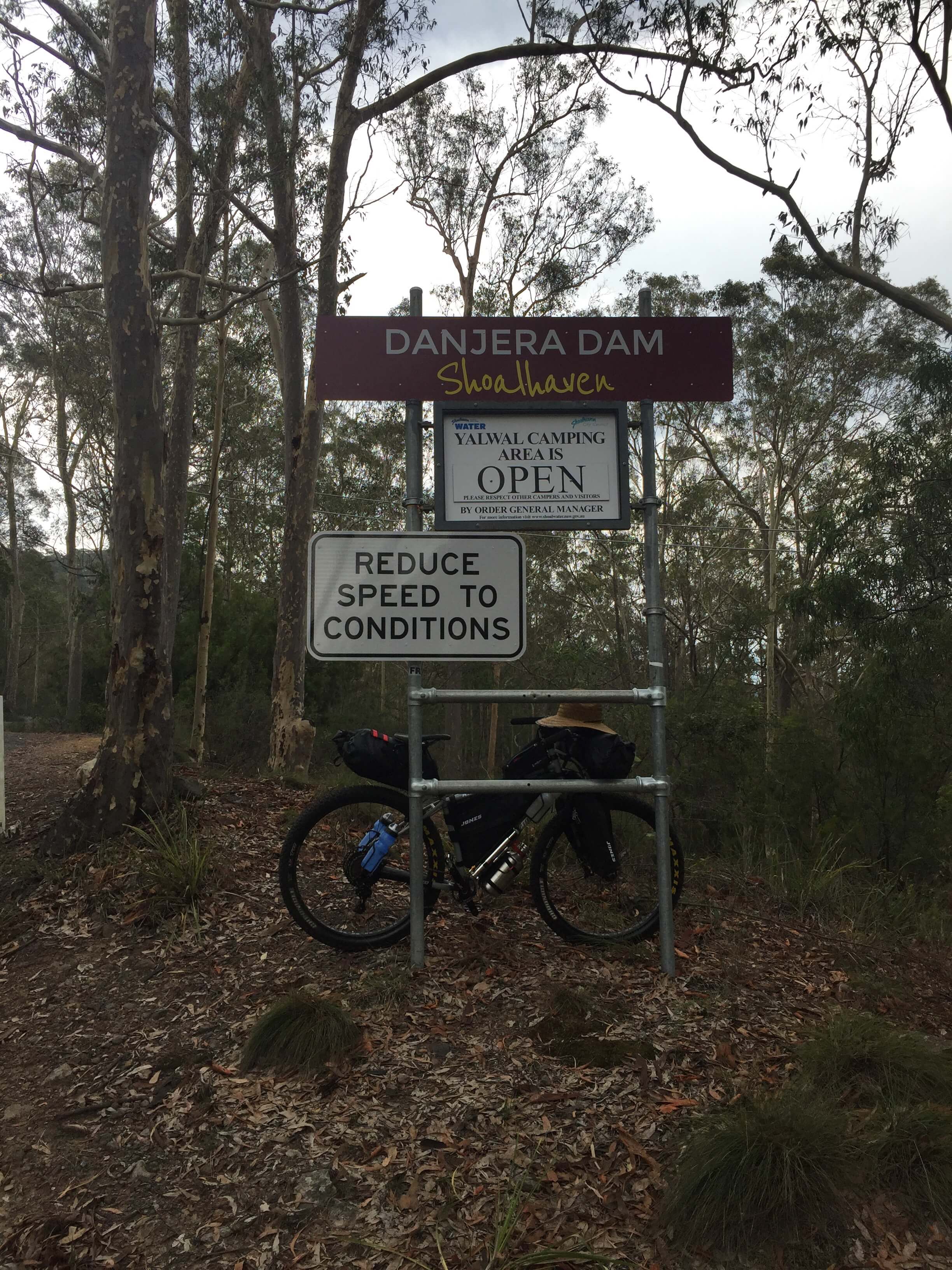
I started the ride at Bombaderry Railway station, and headed for Yalwal Road. The fist signs of the secenery to come are the Triplarina and Bamarang Nature reserve signs. However, it's the sign for Danjera dam and the Yalwal camping area which let you know they are you getting close to away from things, near the intersection with Burrier Road. The road is hard-packed loose gravel and continues into Colymea State Conservation Area. It was soon after here that I came across the first piece of wildlife. A Dingo.
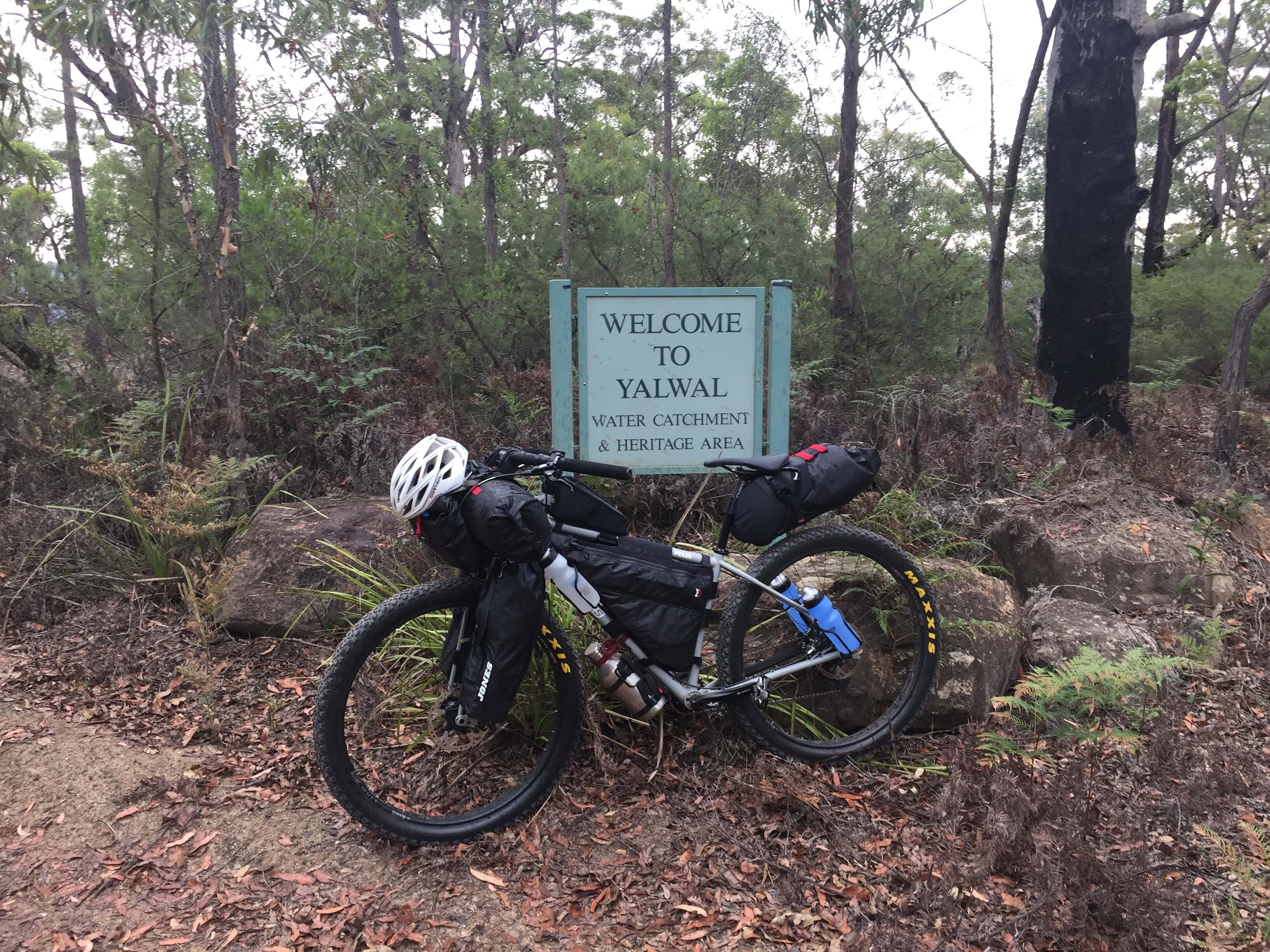
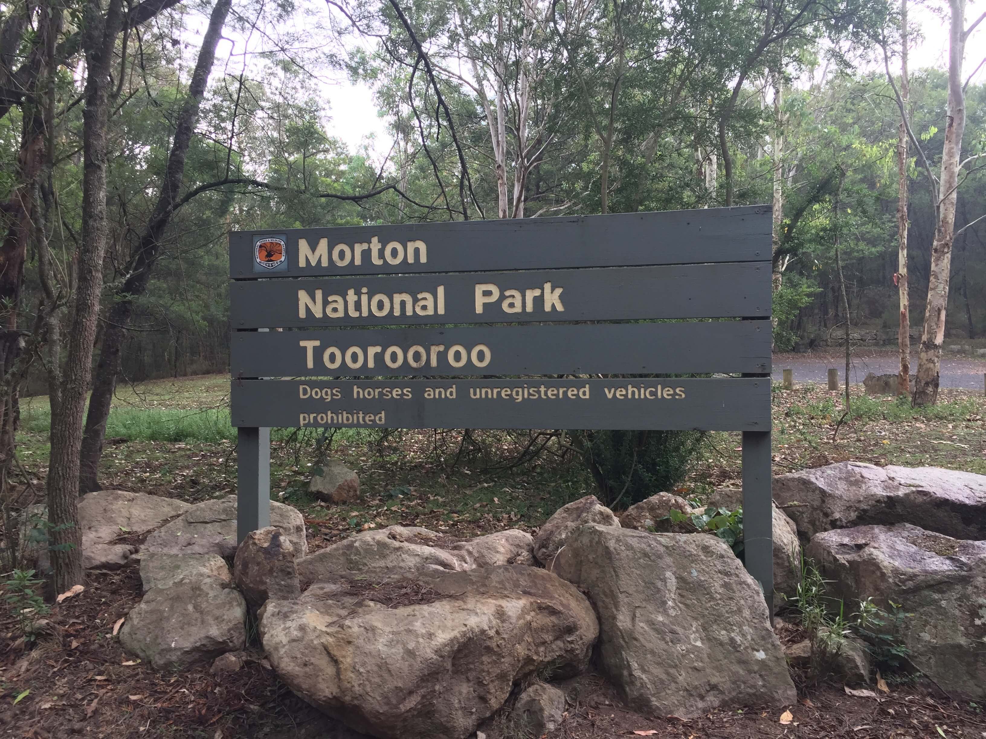
The Yalwal sign greets you at the top of range. It's quite a view south through the trees. It's only has you head down into the valley that you gain a perceptive of what you have to climb out of. The descent takes you down into Moreton National Park, which has its own very small and quiet camping area at Toorooroo before you get to Yalwal (water catchment area) proper. Itself a nice spot, and a haven for 4WD campers. It can get very busy (and rowdy).
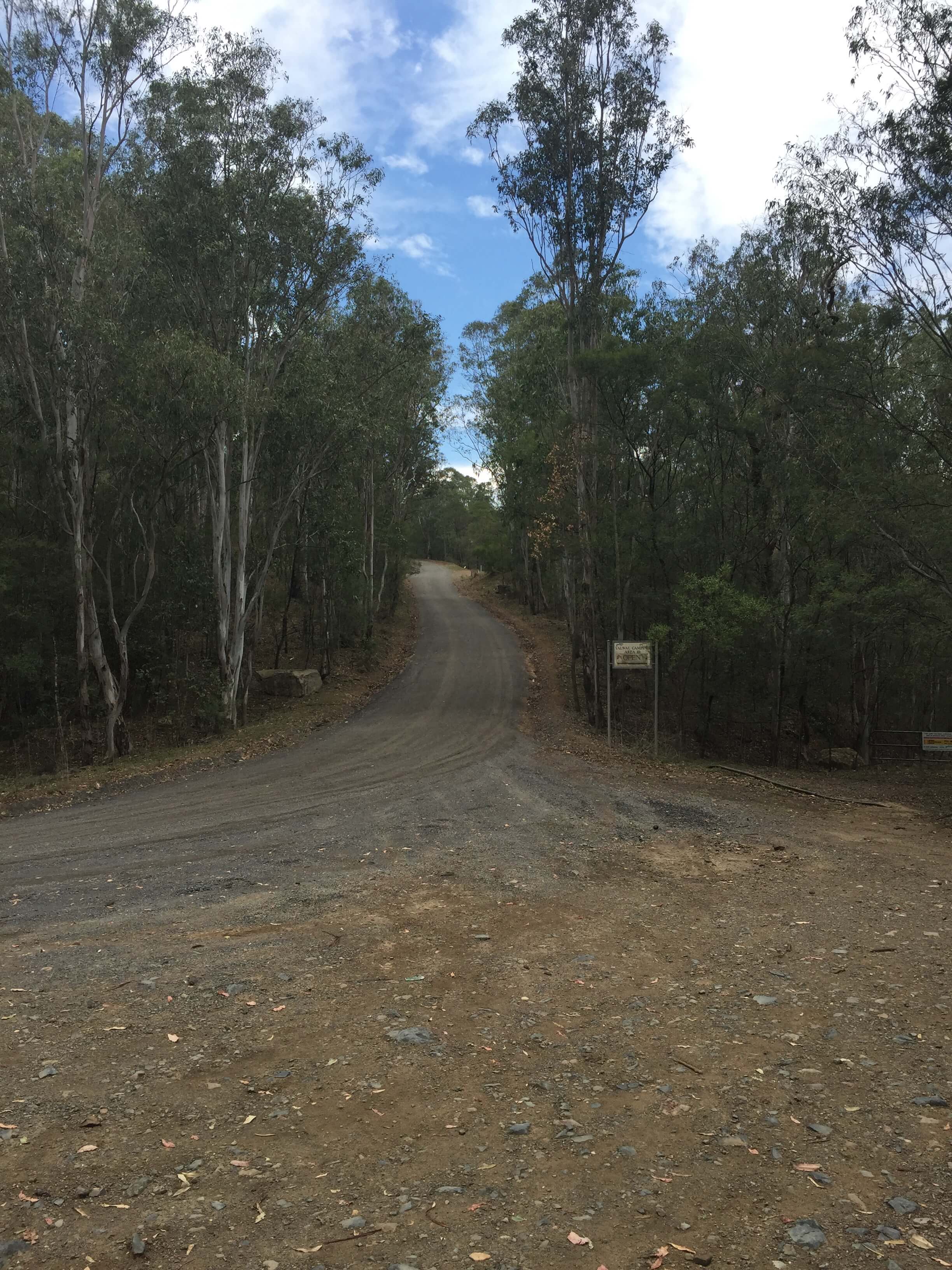
This is where the you start to get a view up, the road out to the south. It's a long and tough climb. There's not much more to say. The gradients are substantial, there are sections of the fire trail which are loose. There was quite a bike of hike-a-bike, and a few frustrated words when coming around corners and seeing the next section going up.
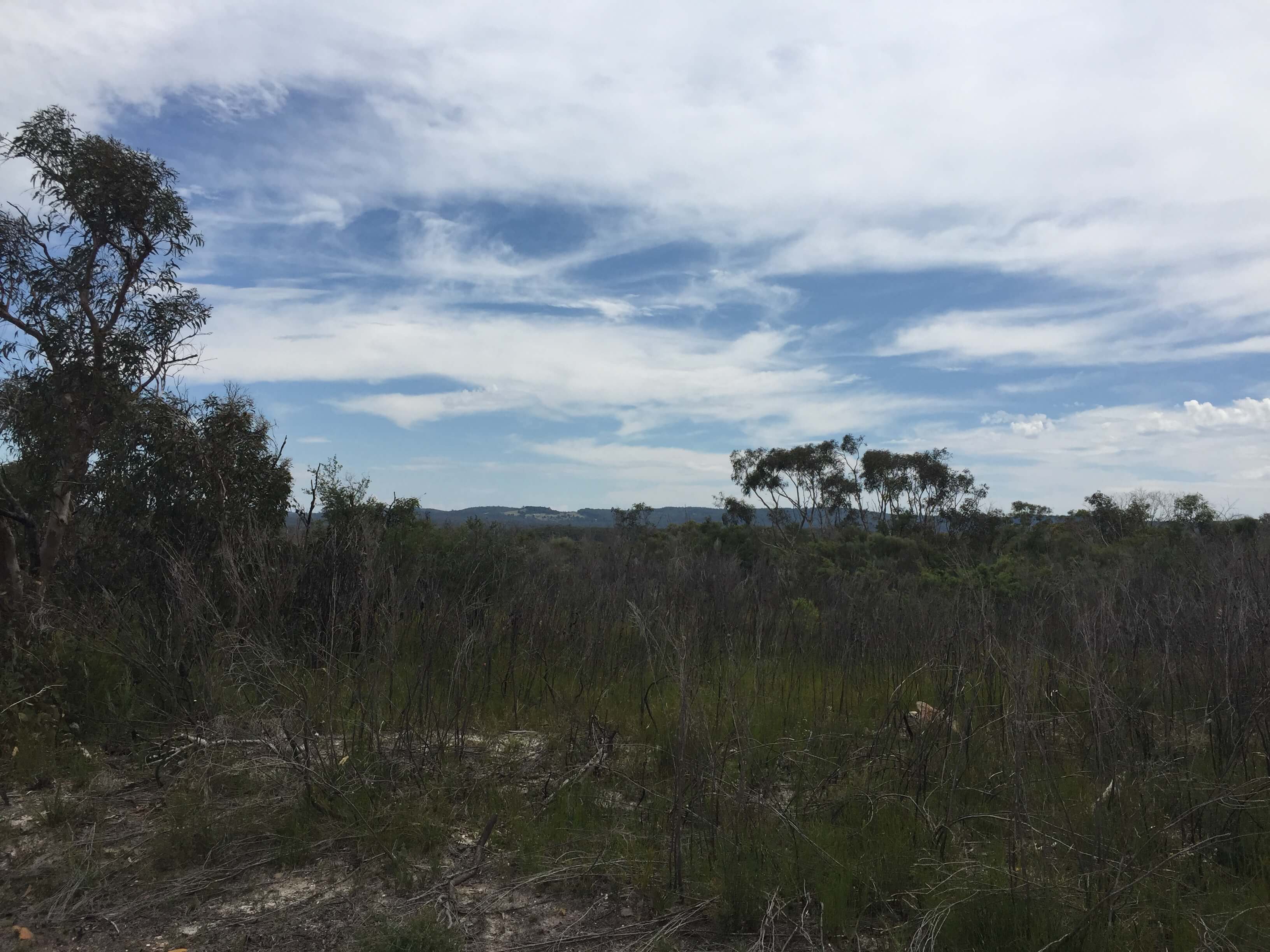
Somewhere on the way up I put my helmet down. by the time I noticed, I was not prepared to backtrack for it and climb back out. After a few gates, you are effectively back up on the ridge for a long slightly inclined include ride out to Braidwood Road. It's ware up on the ridge, and the vegetation doesn't change too much. I see a Wallaby and a Lace Monitor to break things up. Braidwood Road has too things you don't necessarily want to see. Hardtop with traffic, and the ride to Sassafras is up.
I went through the four water bottles I have on the bike and most of the Kleen Kanteen growler. I had started to cramp up, and I have not enough enough/taken on salts. A hydralite tablet helped with that. Quite a good, if long day, with more than a share of climbing.